Município
Município da Matola
Capital da Província de Maputo. O Distrito da Matola, criado em 2013, coincide geograficamente com o município. Organiza-se em três postos administrativos municipais — Matola-Sede, Machava e Infulene — e 42 bairros. Possui o maior parque industrial do país e integra o Porto de Maputo-Matola, no Corredor de Maputo. (Fonte: Revista Tempo, 2024; dados a confirmar com o Conselho Municipal.)
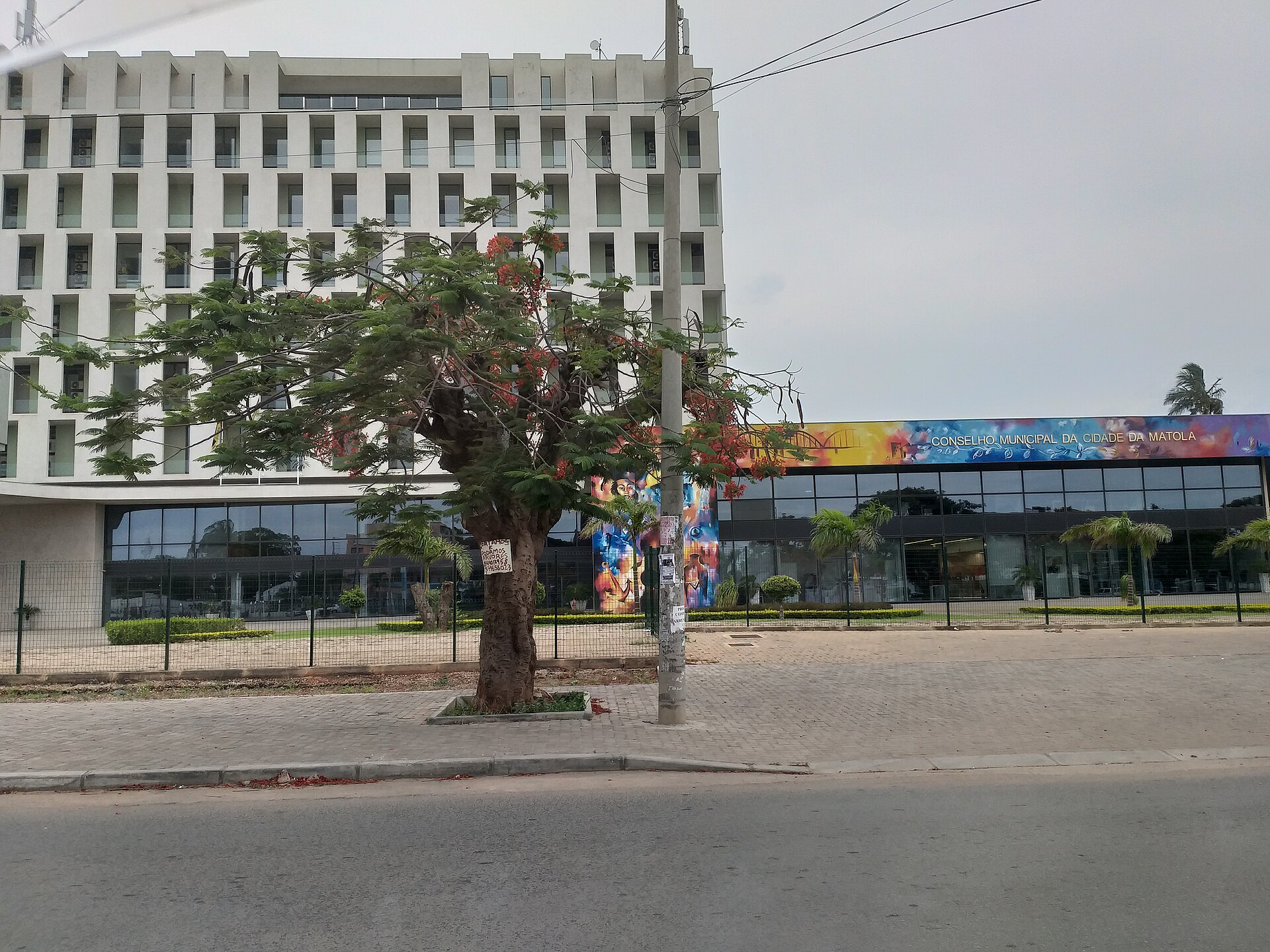
Edifício-sede do Conselho Municipal da Matola · Foto: Teixant · CC BY-SA 4.0 · Wikimedia Commons
Limite municipal representado pelo limite do Distrito da Matola no OpenStreetMap; segundo a Revista Tempo (2024), distrito e município coincidem geograficamente.
Fonte: Documento de briefing do projecto (Out. 2026) (Outra fonte identificada) · actualizado em 27 Oct 2026
Subdivisões registadas
Instituições, serviços e locais
-
Escolas
Centro Infantil e Externato NsalaneRua da Escola Nsalene, Matola · Município da Matola
Identified